Skip to content
Florence Zheng

Florence Zheng

Planning, GIS, Sustainability and more

Menu
  • Activities
  • Collections
    • Projects and Assignments
    • Work Experience
    • Policy Knowledge & Reflections
  • Courses
    • GEOB270 Introduction to GIS
    • GEOB372 Intro to Cartography
    • GEOB370 Advanced Geographic Information Science
    • PLAN 587A Urban Design
    • PLAN 522 Qualitative Data Collection and Analysis
    • CIVL 598P Pedestrian & Bicycle Facility Design
    • PLAN 548S Infrastructure Planning and Smart Cities
    • PLAN 580 Transportation Planning
    • PLAN 526 Planning Studio
  • Skills
    • Editing
    • Urban Planning
    • ArcGIS
    • Adobe Illustrator
    • Urban Studies
    • Spatial Data Analysis
    • Oral Presentation
    • Cartographic Design
    • Urban Design
    • Adobe InDesign
    • Community Engagement
    • Customer Service
    • Transportation Planning
    • Data Analysis
    • Administration
    • Database Management
    • Facilitation
  • Experience
    • UBC Master of Community and Regional Planning (MCRP)
    • UBC Bacholor of Arts in Geography
    • Community Engagement Intern at Vancouver Coastal Health
    • Facilitator at City of Vancouver

Collection: Projects and Assignments

Cartography: British Columbia

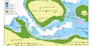
A map of British Columbia including major cities, mountains, and water features.


Professional Development Reflection – GEOB 270

A brief reflection on my GIS learning in GEOB 270 - Introduction to GIS


Housing Affordability Analysis

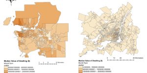
Visualizing the housing affordability issue in Metro Vancouver and make comparison with Montreal


GEOB270: Accomplishment Statement

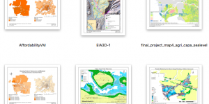
A summary of what I learned and achieved in an introductory GIS course


Posts navigation

Newer posts

CONTACT

florence2zheng@gmail.com


TERMS OF SERVICE