Equity in Zoning: Three Directions Forward
This project critically examines the City of New Westminster’s current Zoning Bylaw to understand if and how the City’s land-use regulations are contributing to and perpetuating inequity within the City.

This project critically examines the City of New Westminster’s current Zoning Bylaw to understand if and how the City’s land-use regulations are contributing to and perpetuating inequity within the City.
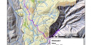
Assessing environmental impact for the Garibaldi at Squamish ski resort project on ArcGIS

This group project brought together two different ways of ‘reading’ the site of Scott Road Station in the City of Surrey—one experience and observation-based, the other focusing more on abstract forms of research—with ‘writing’ a very schematic proposal for the area.
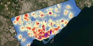
This project analyses spatial relation between location of affordable housing and socioeconomic conditions and use MCE and MaxEnt to propose new potential affordable housing building sites in city of Toronto.
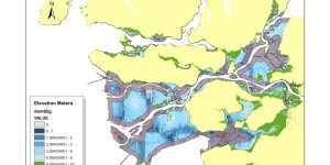
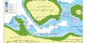
Assessing risk to flooding during a storm surge event in Metro Vancouver.

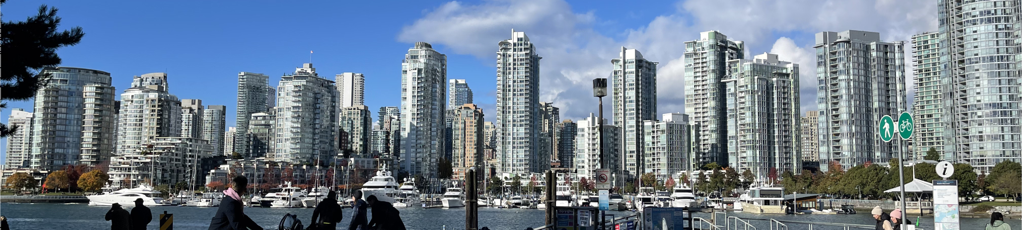
A map of British Columbia including major cities, mountains, and water features.
A brief reflection on my GIS learning in GEOB 270 - Introduction to GIS
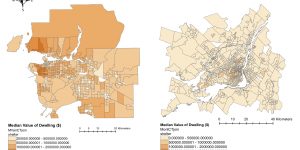
Visualizing the housing affordability issue in Metro Vancouver and make comparison with Montreal
A summary of what I learned and achieved in an introductory GIS course